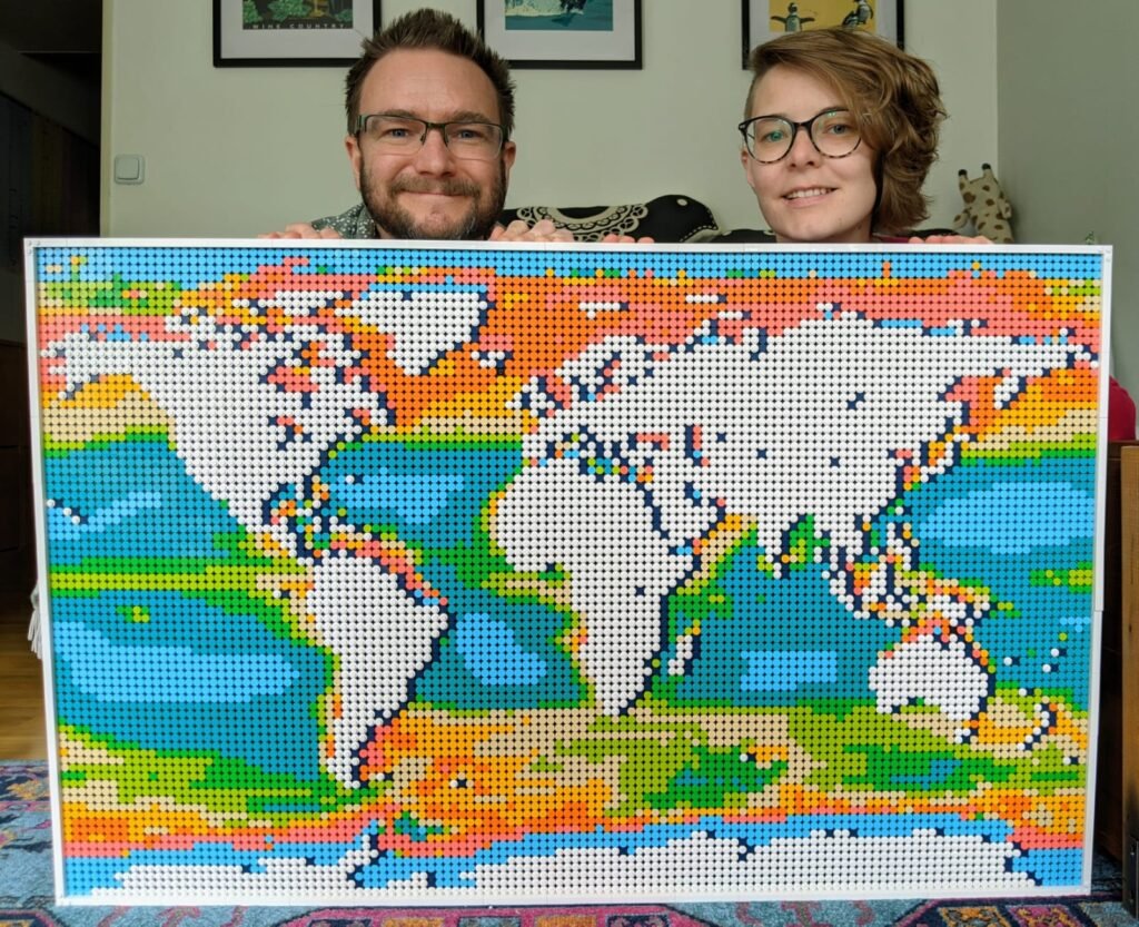
The launch of Lego’s world map canvas has prompted a lot of creativity from geogeeks. I think this map of the world’s oceans based on satellite data by Hayley Evers-King and Ben Loveday is one of my favourites. Leaving the land as white allows the oceans to stand out very effectively. You can watch a little video of them building the map here.


