

GeoLinks forwarded this fabulous haircut pic, such dedication
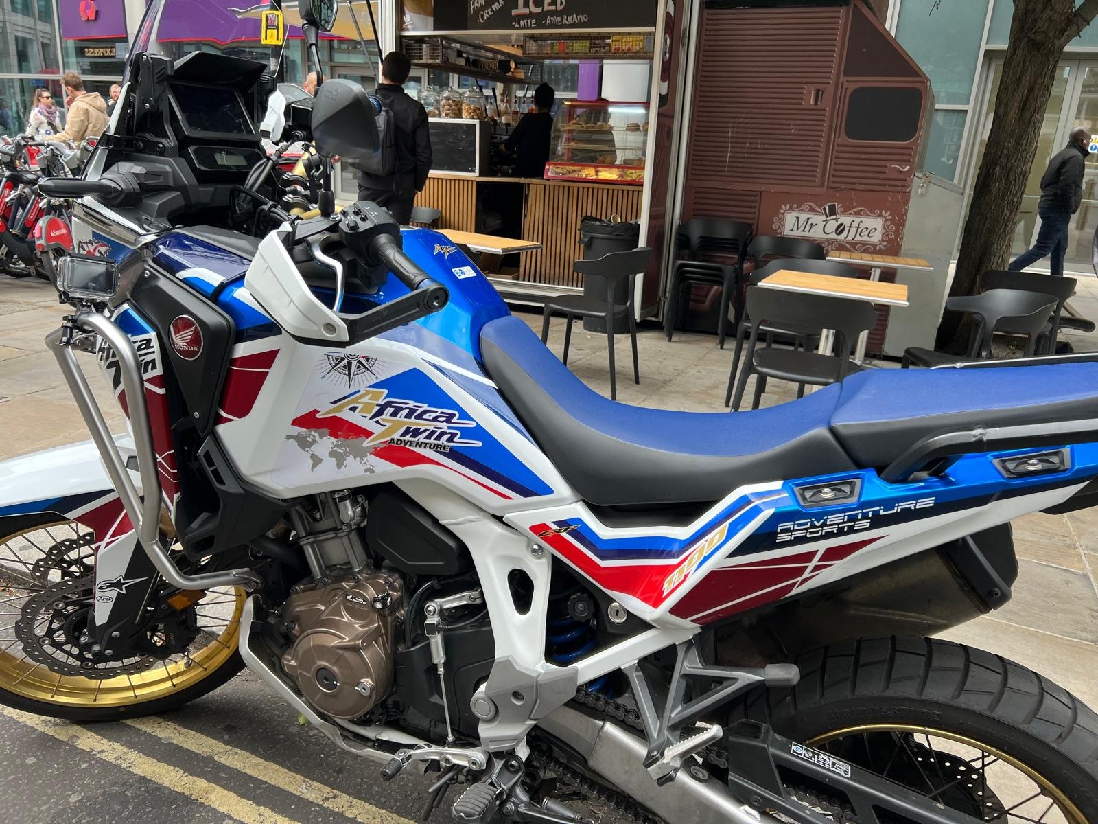
Elizabeth spotted this cool looking bike in Spitalfields market in London
Cartodataviz shared this stunner. “#Mapinthewild Map of Wellington city on a container’
Scott Simmons sent us this pic of a pair of magnificent ski pants that might help you out if you get lost […]


