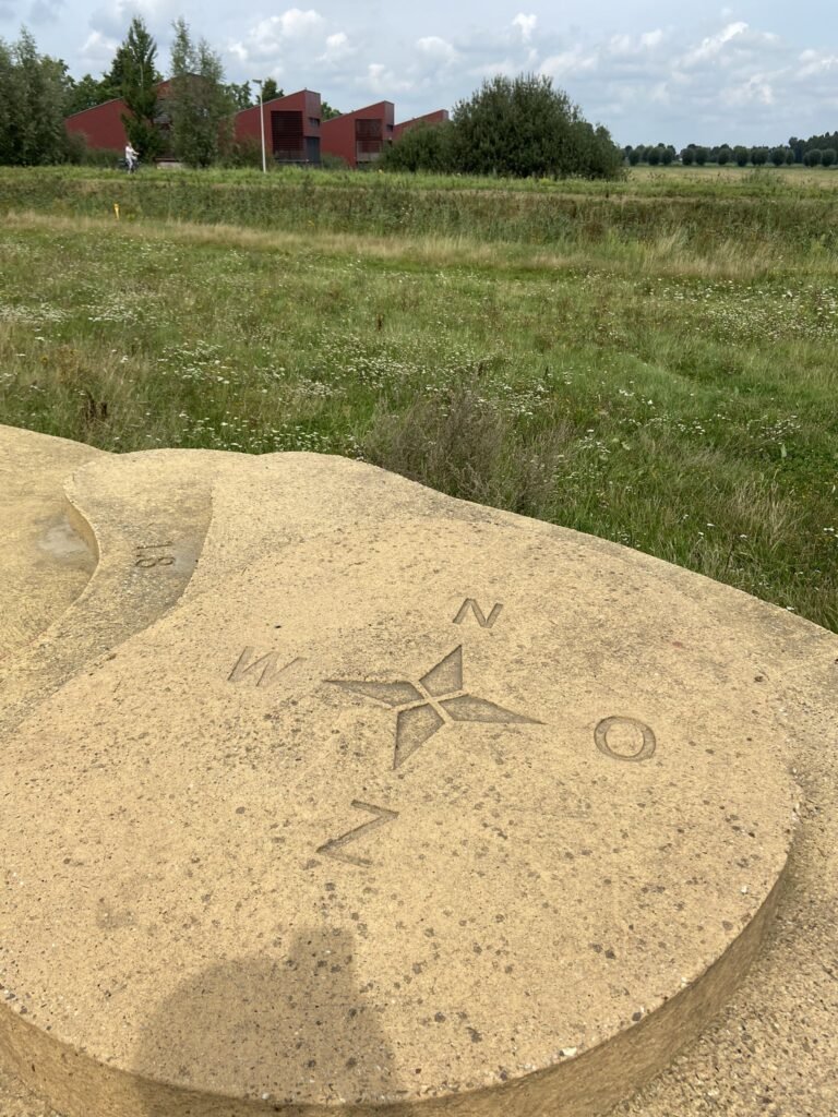


The first time Hans van der Maarel thought it was “Tanaka contours!”. Turns out that’s exactly what they are!
The first time Hans van der Maarel thought it was “Tanaka contours!”. Turns out that’s exactly what they are!
Some fine embroidery pictures from Anne L
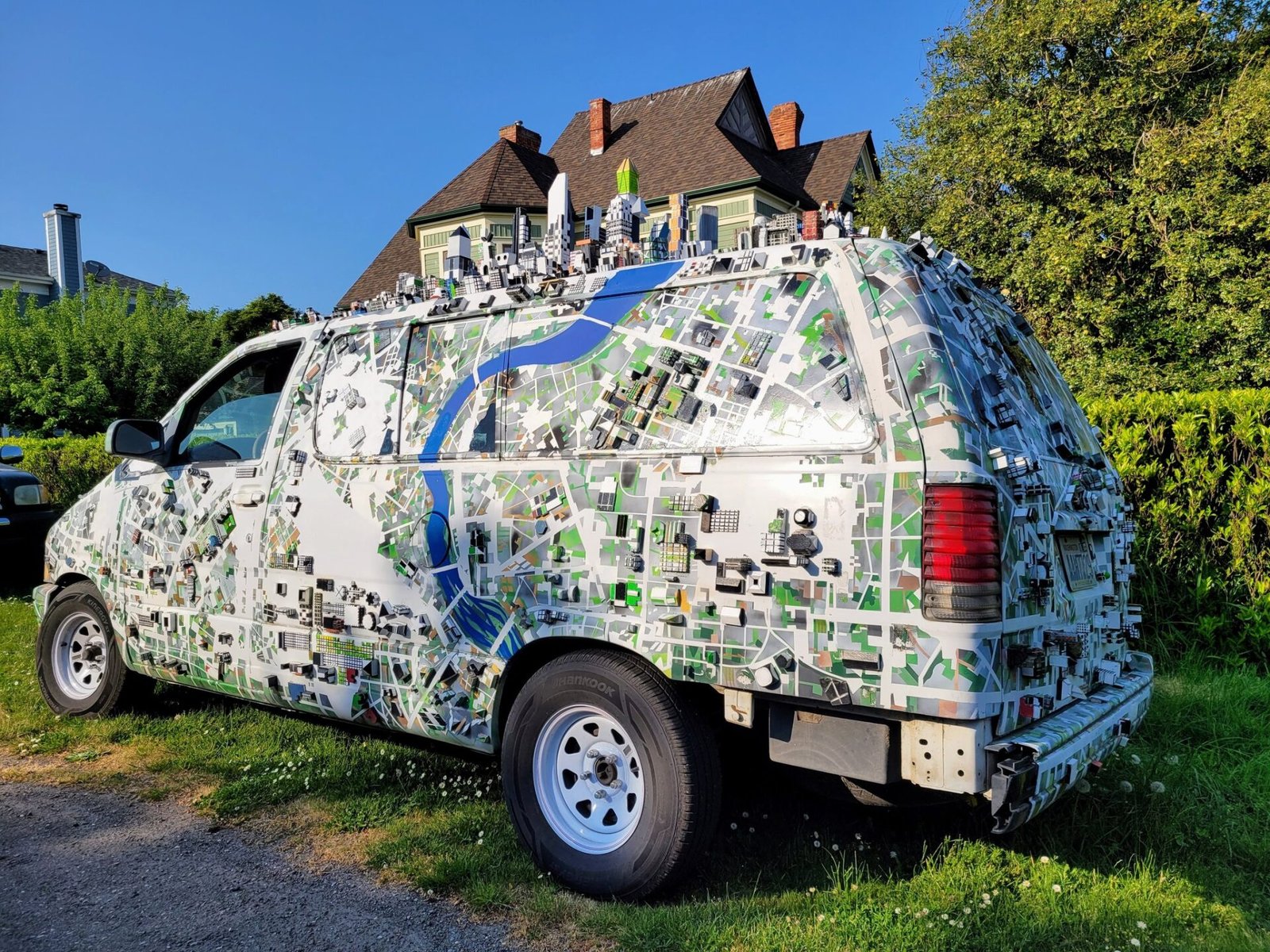
Brian Sullivan shared this picture taken in Port Townsend WA
This cap has been seen in Amsterdam public transport and brought to you by Reinder Storm
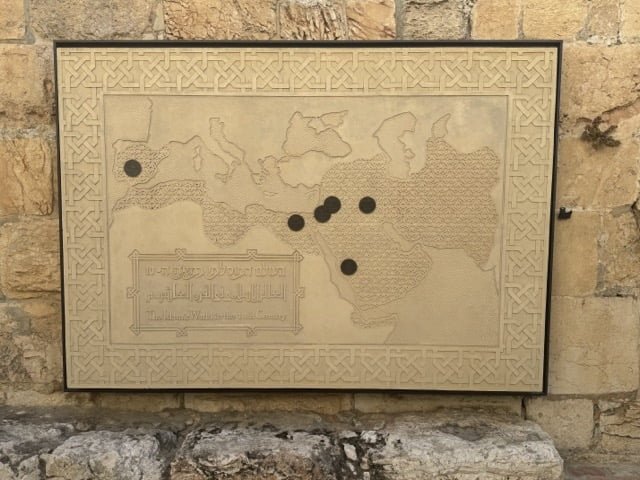
This carved stone map shows the extent of the Islamic World in the 10th Century, quite a remarkable expansion in three centuries. […]


