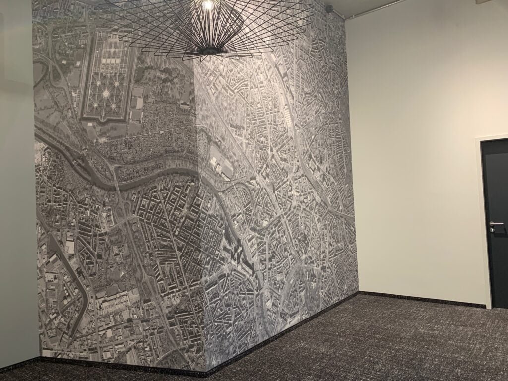
Our friend Marc Tobias sent us these aerial views of Hannover.
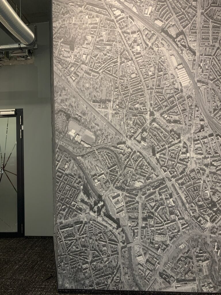
Our friend Marc Tobias sent us these aerial views of Hannover.
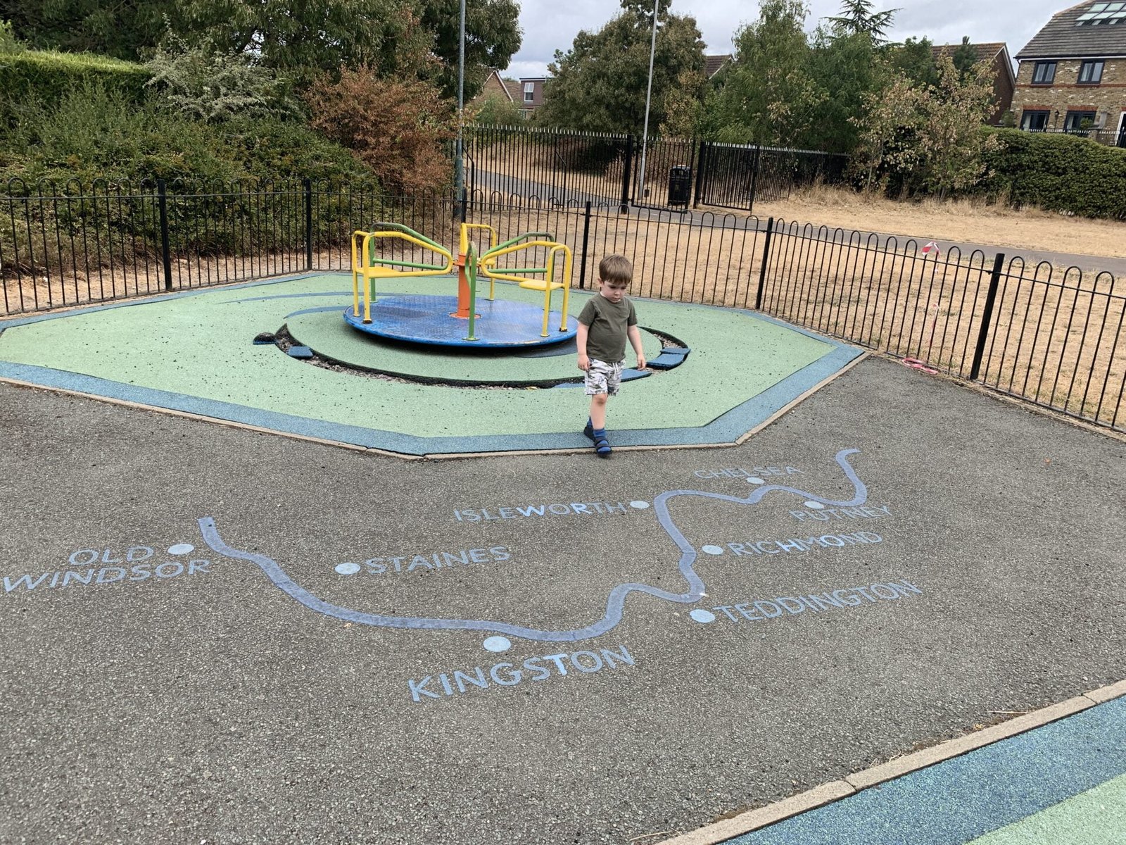
Jude Brosnan sent us this.
To mark Armisitice Day, here is a map in the wild of the Western Front spotted at the Pershing Statue near the […]
Andrew Newman sent us another Lego Globe to add to our collection
Some as a globe (tricky to set down!) and some with a cityscape. Wisley the dog makes an appearance.


