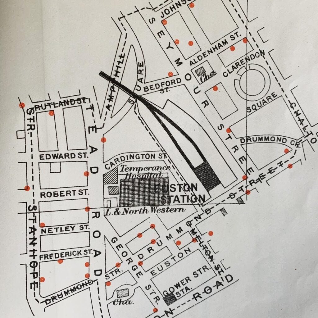
Kris from the Boston Map Society found this map whilst researching for a book on Drink Maps in Victorian Britain.
I knew this book of evidence taken in 1897 for the Royal Commission on Licensing Laws would be a goldmine of information for my research on Drink Maps, but I was not expecting seven attached colorful maps of licensed houses in the back!
It looks like his book is going to be published in May 2024. What is a ‘drink map’ then? Well according to the publishers blurb: “It may sound like a pub guide, yet it actually refers to a type of late nineteenth-century British map designed specifically to shock and shame people into drinking less. “
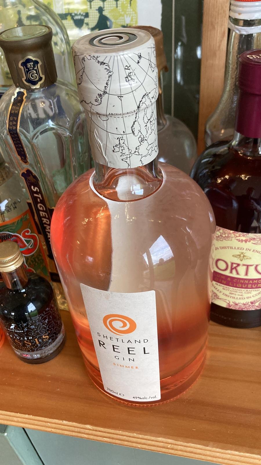
Given how much maps seem to be used on bottles of wine, beer, whiskey etc, the irony is not lost on us!


