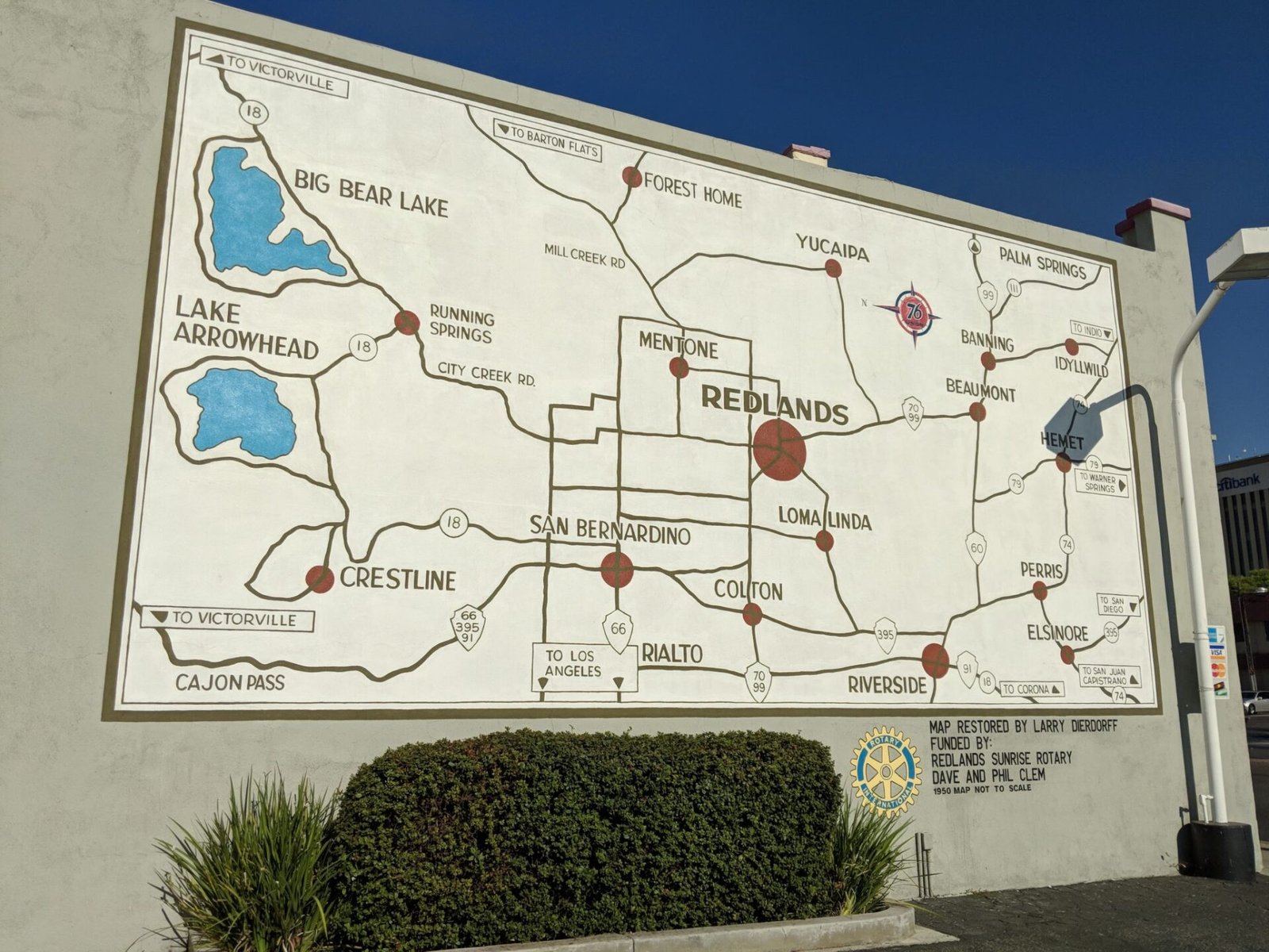
This map is painted on a wall next to a petrol station in Redlands CA. Originally painted in the 1950s and recently restored. I pass it almost every day and love it. What particularly impresses me is that it’s right reading. When you’re stood looking at the wall you’re pretty much facing east. So the map is oriented that way too. East is at the top. You look left and see the mountains and that’s north. Any map in a public space should be oriented correctly. North is not always up!


