
Reinder took this pic in a neighbourhood orchard “. along the river Saône in Lyon, named after a local heroine Mere Guy” “In the 2nd arrondissement, the orchard created at Place Général Delfosse was named in honor of Mere Guy. A pioneer of the Meres de Lyon, she opened her […]
Monthly archives: July 2024
31 posts

Another one from Anna Barca “From the map room in First floor in the Mitchell Library building in the State Library of Sydney. I love looking at those historical art works and think about how maps were made in “the old days” and what was then the focus of the […]

Anne L. shared these pictures last year. What could be better to celebrate Bastille Day this year? The Liberty Explosion is made with 200 stamps representing Marianne, the Symbol of the French Revolution for the Liberty, and the explosion takes the shape of the Phrygian cap. Happy Bastille Day!

Reinder spotted this atlas in a bookshop in Lyon, “saw this Asia-Australia centered atlas cover in Librairie Passages, in Lyon, France.” Centering the world map on Asia and Australia (which places the Americas to the east) reminds us thatthe adoption of the Prime Meridian through Greenwich was a choice by […]

From Reinder, he spotted “Two globes at Waterlooplein-market in Amsterdam preventing the wind from blowing all the stuff away.”

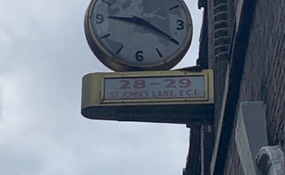
Marc-Tobias sent me these pics from his recent visit to London. Forest Bikes is a newish e-bike rental scheme in London. The bikes seem to be decorated with maps. Could they be real places, or is it a fantasy? Note the contour lines That is almost certainly the British Isles […]

Reinder sent this. You might think this is from Australia but no, it is afloat on the River Rhone. You might also be wondering why it gets featured on Mappery, well look at the zoomed in image.

Anna Barca spotted this map on the staircase at the Armidale Information Centre. She said “The use of the staircase to display local attractions (mainly National Parks) is clever, turning a boring wall into a amazing eye-catching source of information.” Good spot Anna and welcome to the Mappery community with […]

Maarten Pullen sent me this picture of a shopping bag with a map of Nikko, Japan. “Yesterday I stumbled upon a plastic bag from Nikko, Japan, with several tourist spots on it. I wrote a little blog post (in Dutch, but can be translated) about the background of the map […]

This 3D map of Jerusalem in the 19th century is massive and spectacular. It was brilliantly lit to take you through a day in the life of the city from the sun rising in the east through the day to sunset. “Stefan Illés, an Austro-Hungarian Catholic, arrived in Jerusalem in […]

The Madaba mosaic map is one of the oldest surviving maps of Jerusalem. “A famous Byzantine mosaic map, discovered in 1896 in the town of Madaba in Jordan. The mosaic, dated to the sixth century, emphasizes Christian sites throughout the biblical lands. The map bears the names of the sites […]


This carved stone map shows the extent of the Islamic World in the 10th Century, quite a remarkable expansion in three centuries. It’s a beautiful piece, spoilt (IMO) by the heavy black markers.

This display showed maps of Jerusalem from different periods, I like the way the maps are juxtaposed against the view through the window.