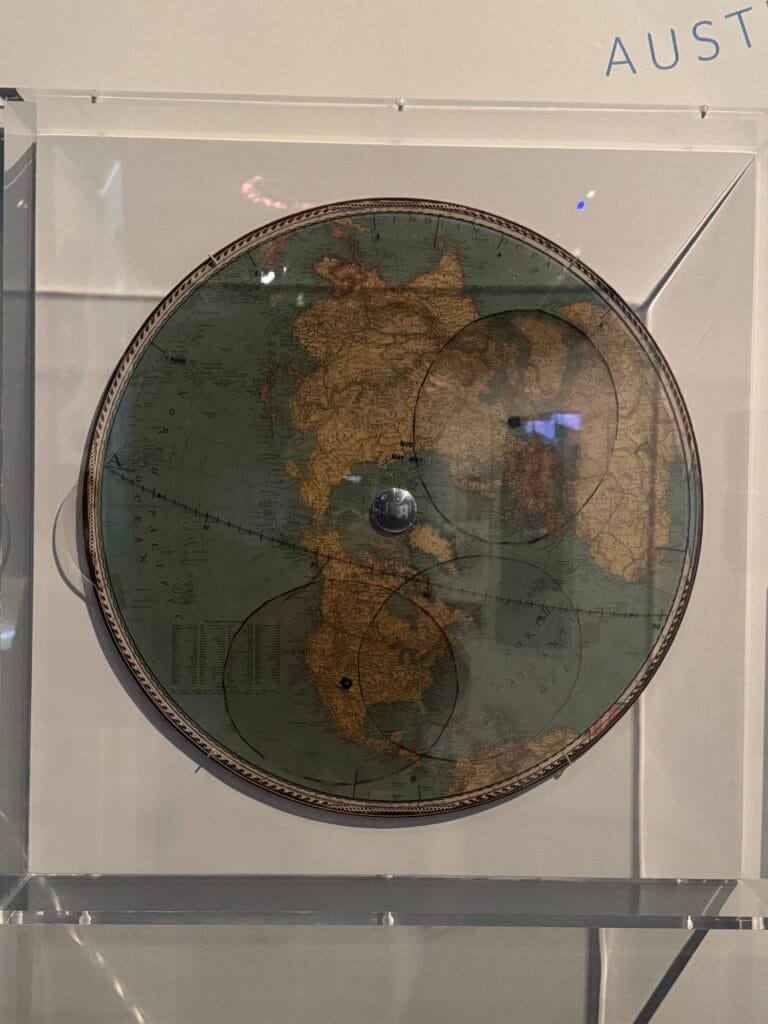
Using Satellites for Spying
GRAB (Galactic Radiation and Background) Satellite Ground
Station Contact Map, 1960
GRAB was the first electronic spy satellite; it picked up radio communications from Cold War adversaries. Ground operators used this map to tell when the satellite was overhead. That’s when they could download intercepted intelligence.
This is the last post from my visit to the National Air and Space Museum in Washington, it’s a must see if you are in the city.


