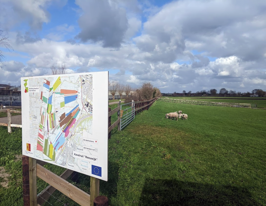
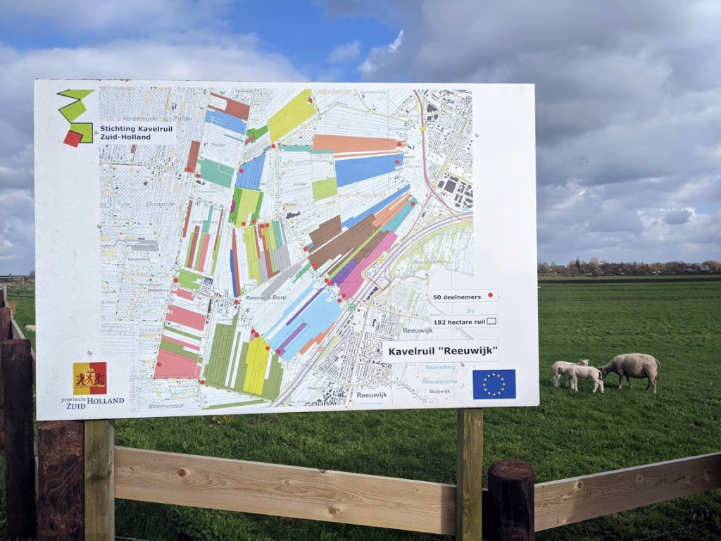
Our Friend Erik encountered this map when walking near the village of Boskoop.
Erik: “It shows the area of the local land consolidation project, with the participants. However, cartography-wise it raises some questions, like: does this map actually tell me something, and if so, what? Is this parcel division before, or after the project? Would it benefit from something like a “you are here” marker, so that at least we know if this is actually about the area I’m walking in? Why did this typical “sorry, really got no time to do this map, I’ll just throw something together in 3 minutes” map made it to something that was deemed worthy to be on a big board outside, instead of on a desk for tech people somewhere in an office? Why are all texts/legend items placed in separate boxes? And why does the Stichting Kavelruil Zuid-Holland use an exploded 8-bit logo for this map?
On the positive side, the map is lovingly placed, with sheep and lambs to distract the local geospatial critic with some gentle spring reminders.”


