
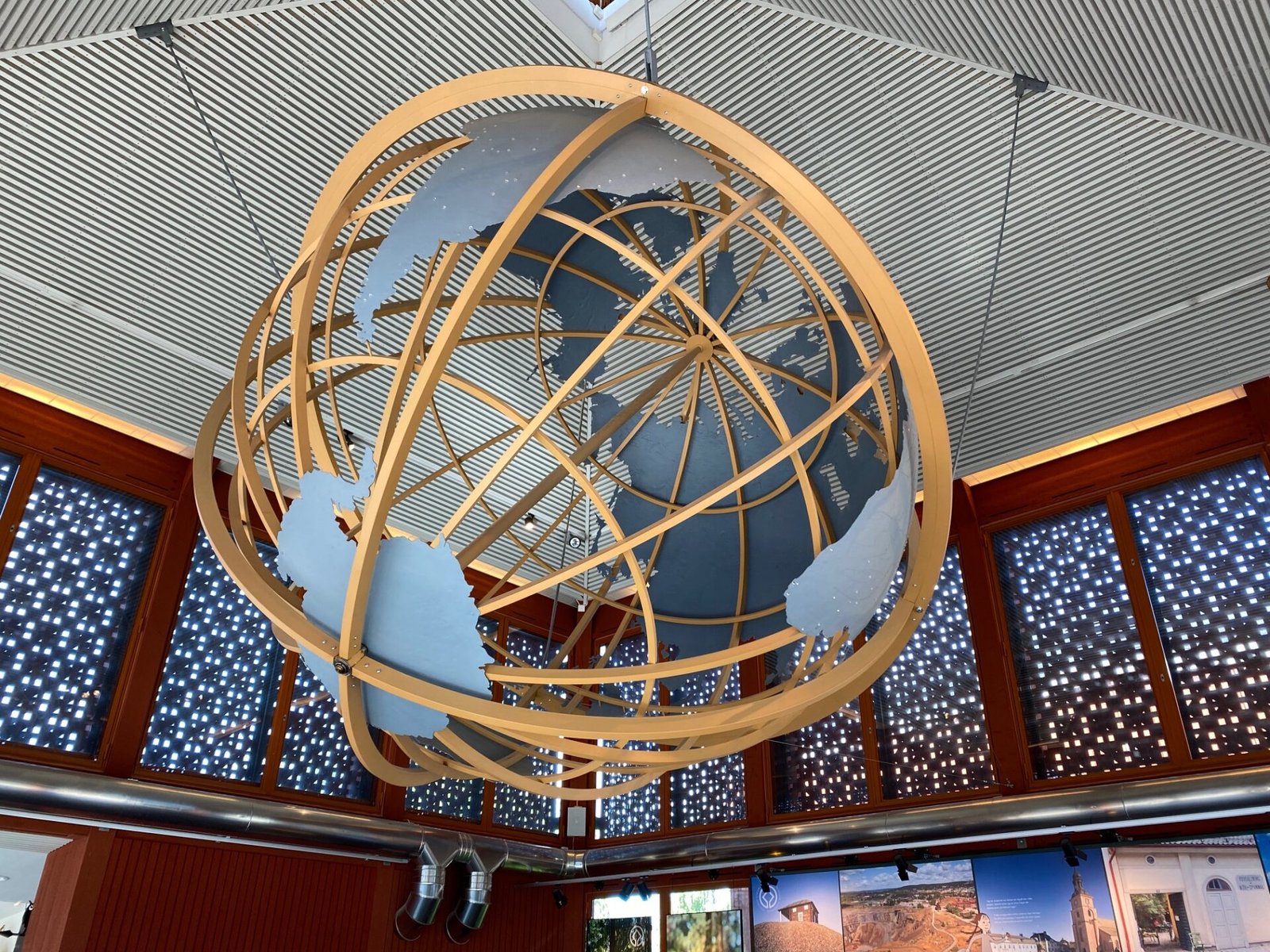
My sister spotted this beautiful globe at Petworth House, it is allegedly the first English terrestrial globe.
In the 16th century, accurate maps and globes were critical to planning trade, maritime navigation, foreign policy and warfare. Indeed, the quality of the information they supplied could determine success or failure, life or death. It is hard to overestimate the importance of this globe at Petworth, West Sussex, as it is the first English globe and the only surviving example of the first edition. It was created by the mathematician Emery Molyneux (d.1598) with engravings by the Dutch émigré Jodocus Hondius (1563–1612) using what were described as ‘the newest, secretest, and latest discoveries’. Molyneux presented one of these globes to Queen Elizabeth I, and its production celebrated the role of England as a maritime power. Decorated with terrifying sea monsters and an African elephant, it also charts the circumnavigation of the world by Sir Francis Drake (c.1540–96) and a similar attempt by Thomas Cavendish (1560–92), championing the achievements of these famous English explorers. The globe was probably acquired by Henry Percy, 9th Earl of Northumberland (1564–1632), and has been recorded at Petworth since at least 1632.
https://www.nationaltrustcollections.org.uk/object/486024


