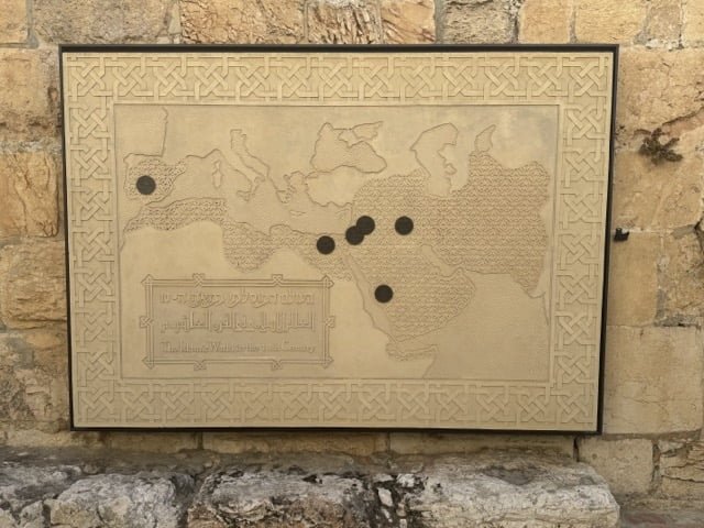
This carved stone map shows the extent of the Islamic World in the 10th Century, quite a remarkable expansion in three centuries. It’s a beautiful piece, spoilt (IMO) by the heavy black markers.
This carved stone map shows the extent of the Islamic World in the 10th Century, quite a remarkable expansion in three centuries. It’s a beautiful piece, spoilt (IMO) by the heavy black markers.
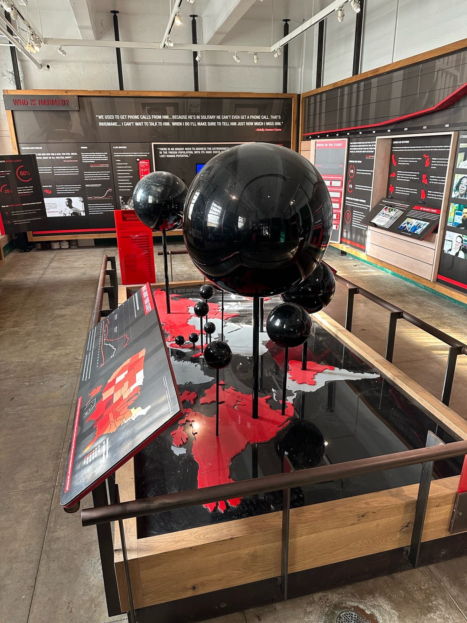
Robert Simmon comments on the Global incarceration rates displayed in Alcatraz: “The Park Service is doing a great job of having a […]
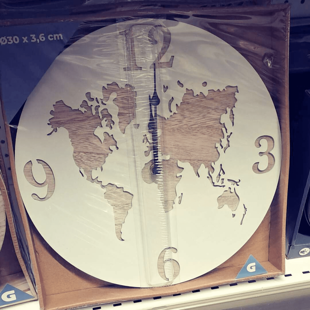
Michel Stuyts asks “Am I the only one who sees this kind of clock in a shop and the first thing that […]
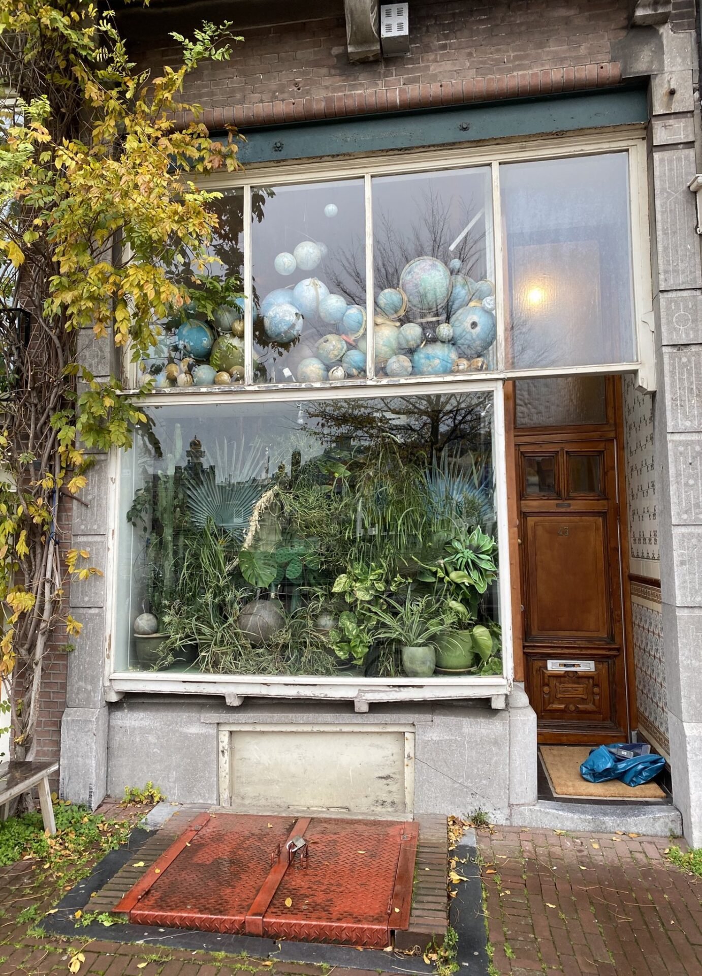
From Reinder Storm Today, I ran into a #globe or two, in #Amsterdam, in the window of a house at the Amstel.


