
Reinder Storm shared this pic of the flyleaf of the Atlas of Britain (Oxford, 1963). I had to look a couple of times.
Reinder Storm shared this pic of the flyleaf of the Atlas of Britain (Oxford, 1963). I had to look a couple of times.
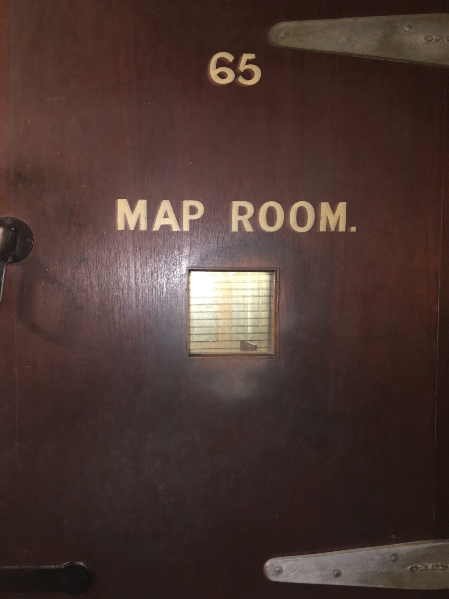
We went to the Cabinet War Rooms yesterday (aka Churchill War Rooms) for a guided tour with our friend Mark who is […]
Another one from Le Cartographe
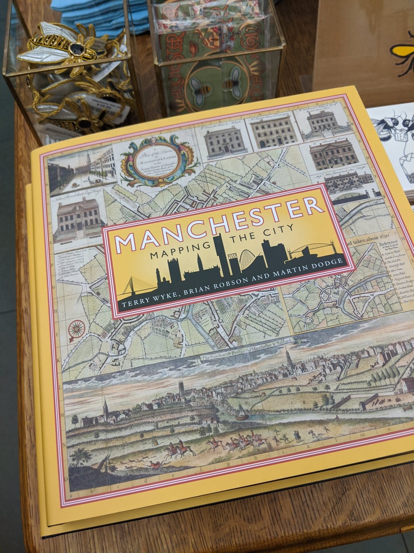
Angharad Stone shared this beautiful map book cover from her trip to Manchester
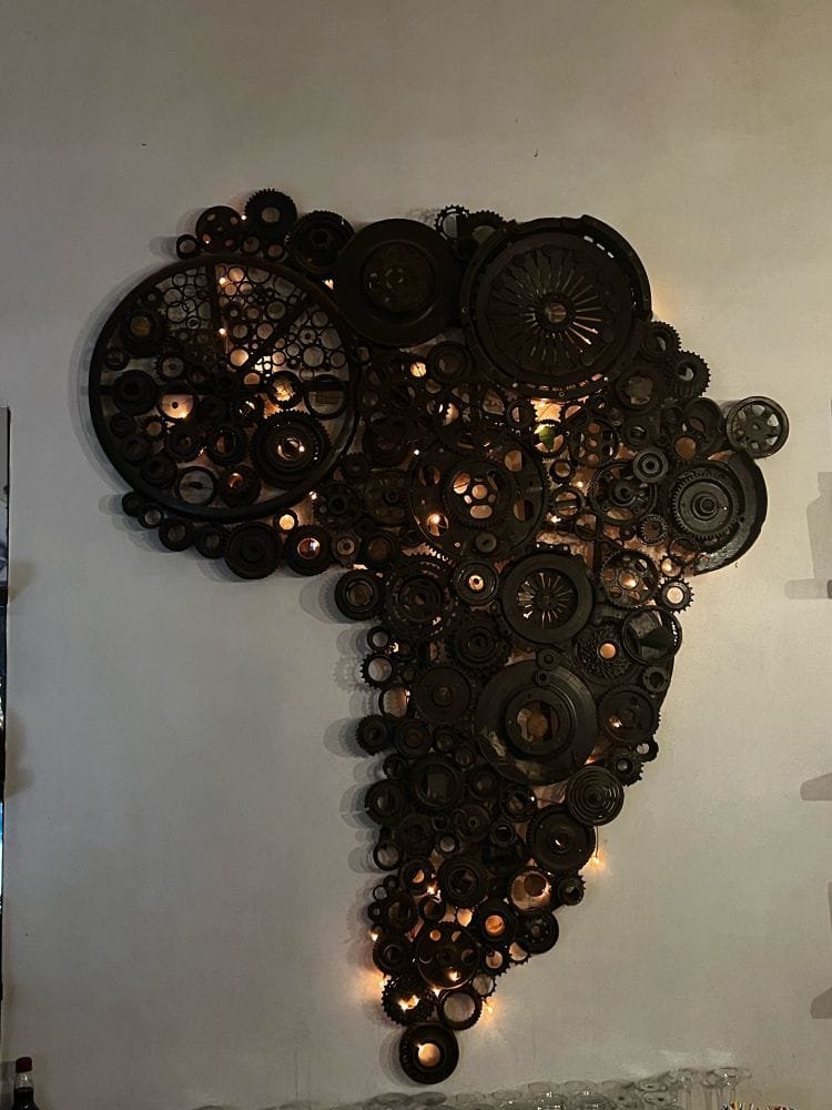
Ragnvald shared this map of Africa found in a Bar in Malawi


