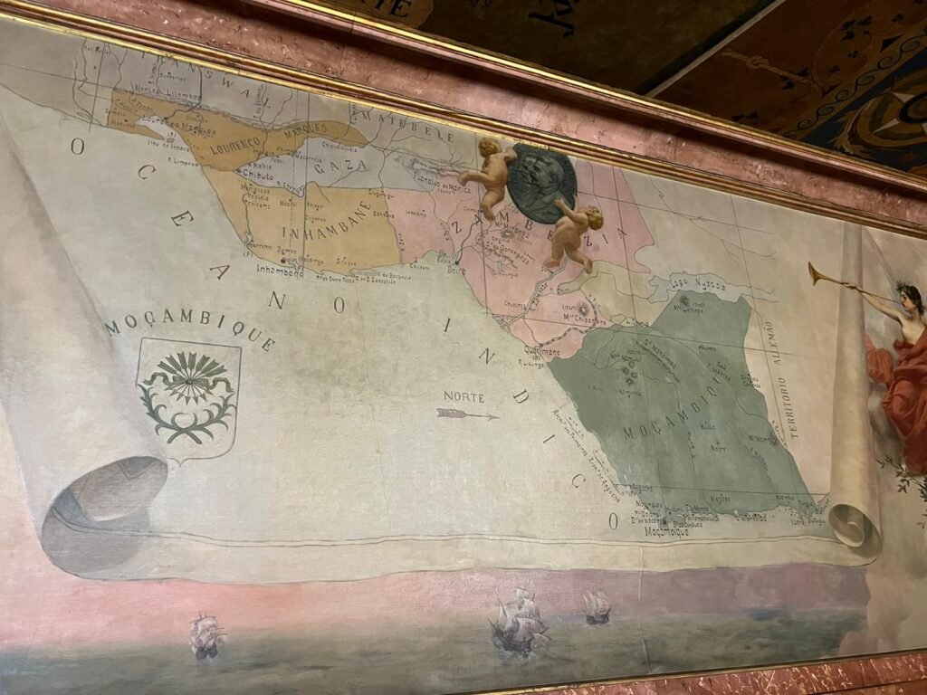
Jeremy Morley sent this pic of an early map of Mozambique and surrounding territories from the Military Museum in Lisbon. It’s interesting that the map has west to the top (north arrow points right), quite unusual – I’m guessing that the map was rotated to hang in landscape to fit on a wall space rather than cartographic reasons.


