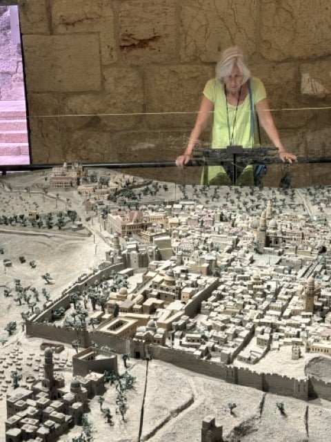
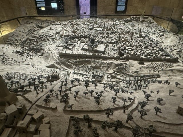
This 3D map of Jerusalem in the 19th century is massive and spectacular. It was brilliantly lit to take you through a day in the life of the city from the sun rising in the east through the day to sunset.
“Stefan Illés, an Austro-Hungarian Catholic, arrived in Jerusalem in 1864 and worked as a bookbinder at the Franciscan publishing house. Illés built a model of Jerusalem that was exhibited in the Ottoman Pavilion at the World Expo in Vienna in 1873. The model, which was highly acclaimed, was displayed throughout Germany and Switzerland. In 1878, it was purchased by a distinguished family from Geneva. Illés’s impressive model is cartographically accurate and is considered a reliable scientific source for the history and geography of Jerusalem in the 19th century.”
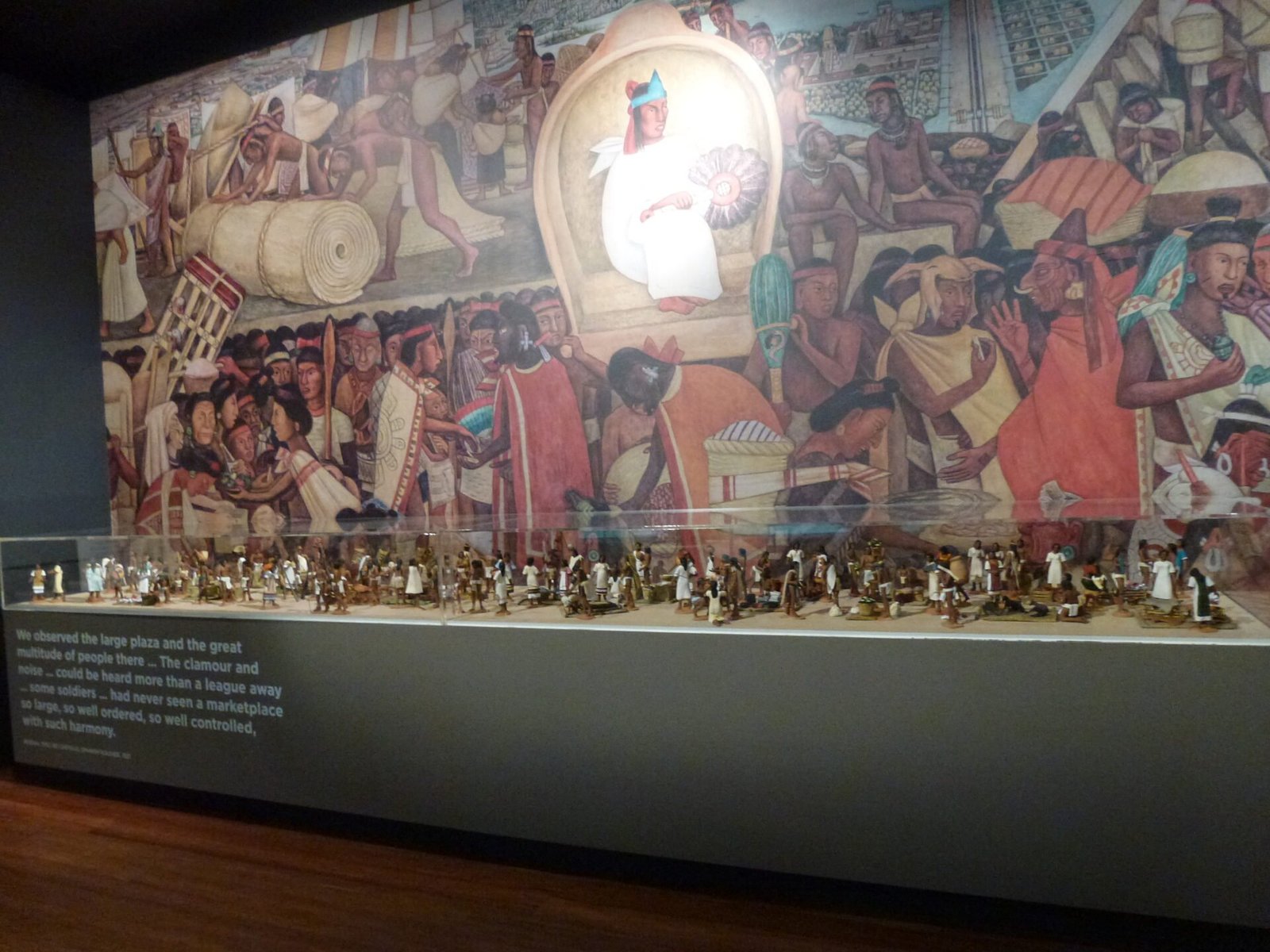
And that finishes my maps in the wild selection from King David’s Tower. There were loads more maps showing the evolution of the city through the different eras of history from the Egyptian period through Assyrian, Babylonian, Persian, Islamic, Crusader and Ottoman eras to the modern day. Well worth a visit.


