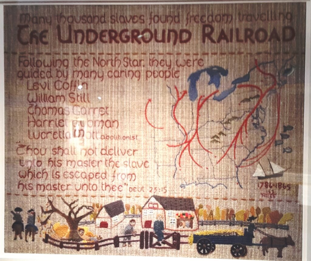
Dave Lovell pointed out this tapestry map illustrating the routes used to smuggle slaves to Canada in the 19th century. It is part of the massive Quaker Tapestry in Kendall.
After Britain abolished slavery in British colonies, Canada became a safe haven for escaping American slaves. The ‘Underground Railroad’ was set up to help them: the homes of sympathisers were known as ‘stations’, and people helping them as ‘conductors’. The main ‘lines’ are shown in red on the map. Look at the bottom for the children’s depiction of escaping slaves hiding from soldiers.
https://www.quaker-tapestry.co.uk/panel/the-underground-railroad/


