
Paul Hardy shared this
Another candidate for maps in the wild – Village map on wall of bus shelter in the small village of Thorpe in Derbyshire, UK, at 53°03’04.5″N+1°46’09.7″W
Thorpe is one of the nearest villages to Dovedale, which is a favourite tourist spot in the White Peak area of the Derbyshire Dales – limestone country where deep green valleys cut into a limestone plateau.
I rather liked the map style – a good blend of art, accuracy, and communication.
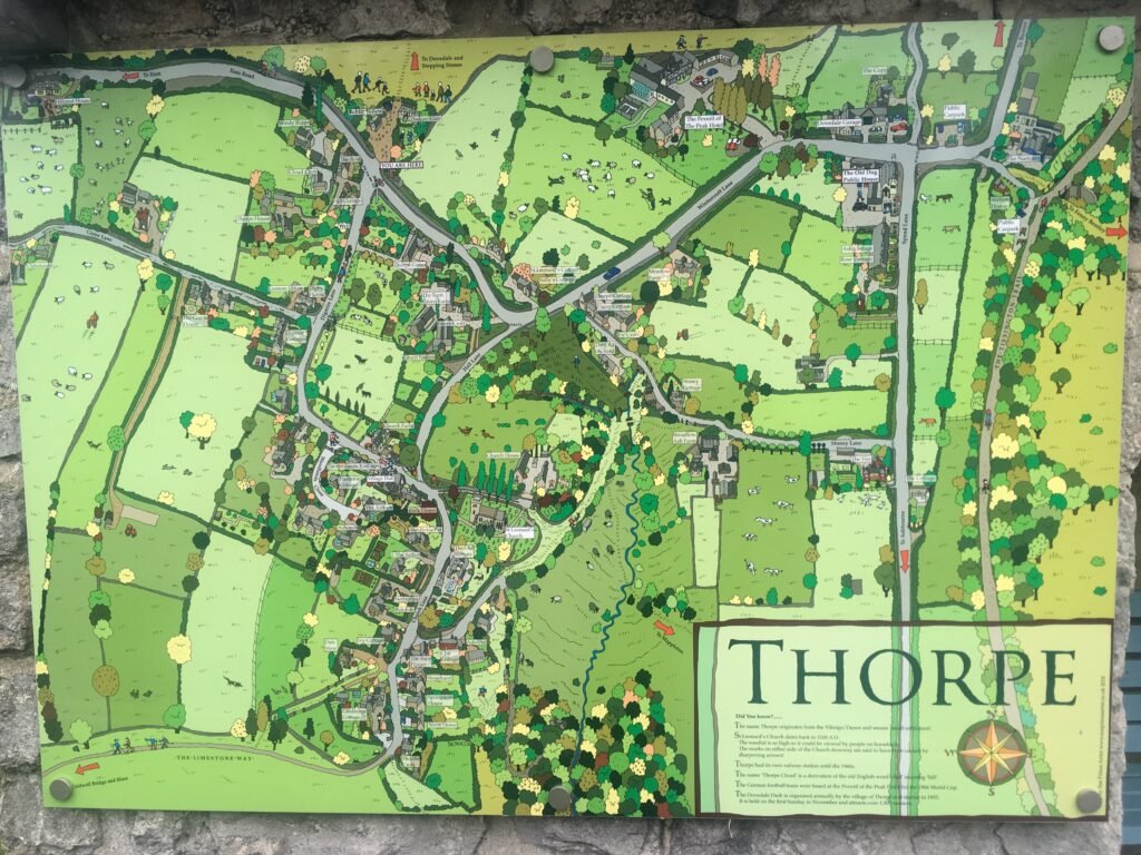
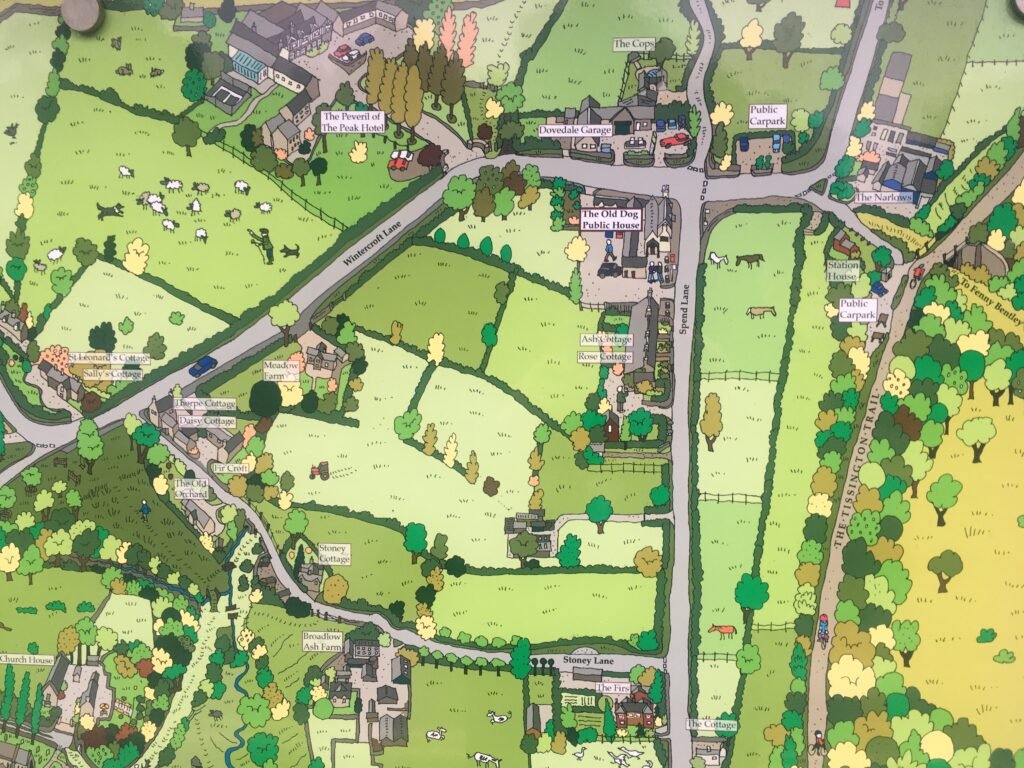
I agree with Paul – this really is a lovely combination of art and cartography


